How to check if the Mae Hong Son loop is safe to drive right now
Senior Editor
There is no single page that tells you whether the loop is open. The check that works takes about ten minutes: read the province's own district-level warning, match it to the legs of your route, then phone the Department of Highways on 1586 to ask about the specific kilometre markers you will ride. Do it the morning you set off, not the night before, because on this road the difference between clear and closed is one night of rain.
The one thing to understand before you start: Thai warnings are issued by district, never by road. Translating "Mae La Noi district, high risk" into "Highway 108 between Mae Sariang and Chiang Mai" is the part you have to do yourself.
DDPM pushes Cell Broadcast alerts through those three carriers to handsets physically inside the warned zone. A foreign roaming SIM may not receive them.
1586 Department of Highways (24/7, road hazards and conditions), 1784 DDPM (24/7 disaster hotline), 1193 highway police, 1146 rural roads.
DDPM's standing channel for reporting and receiving hazard information.
Chiang Mai to Pai, Pai to Mae Hong Son, Mae Hong Son to Khun Yuam to Mae Sariang, Mae Sariang to Chiang Mai. You will be checking districts, not towns.
1. Look at your phone's alert history first. If DDPM has broadcast to the area you are in or heading into, it will be there. On 18 September 2026 the alert went to Mueang Mae Hong Son and Khun Yuam districts, warning of flash floods, sudden water surges and landslides in low-lying and sloped terrain, and telling people to move vehicles to higher ground. Bangkok Biz News carried the alert text in full. No alert is not an all-clear; it only means nothing has been pushed to your handset.
2. Find the current provincial DDPM notice and read the district list. The Mae Hong Son command centre's notice running 16 to 22 September 2026 put eight districts on watch, with Khun Yuam, Mae La Noi and Sop Moei flagged highest risk and Mueang Mae Hong Son and Mae Sariang at medium. That single list tells you the loop's southern leg is the exposed one this week and the Pai side is not.
3. Check the national window. ONWR Notice No. 4/2026 covered 15 to 19 September and named Sop Moei, Khun Yuam, Mae La Noi, Pai and Mae Sariang, which is nearly every district the loop passes through. DDPM's parallel five-day alert ran 16 to 20 September, with the North forecast to take the heavy rain first on the 17th. The official trigger for intensified surveillance is more than 90mm of rain in 24 hours; the provincial "rain bomb" threshold is over 30mm in 15 minutes to an hour. Those are the numbers to look for in a forecast, not adjectives.
4. Phone 1586 and ask about kilometre markers, not towns. This is the only step that tells you whether a road is physically open at this hour. Ask specifically about Highway 108 between Mae Sariang and Chiang Mai, and about Highway 1266 if you are heading toward Mae La Noi's side roads.
5. Decide by leg, not by trip. If the day's leg crosses a high-risk district and heavy rain is forecast or has already fallen overnight, that leg waits. The rest of the loop can still be ridden.
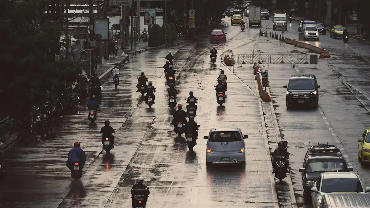
Highway 108 south of Mae Hong Son is the choke point, repeatedly. Overnight rain on 20 August 2026 dropped trees and four electrical poles across it at km 166 to 168, roughly 30km short of Mae Sariang, blocking all vehicles in both directions, with three more tree-fall points between Ban Huay Pong and Ban Mae Cha cleared under alternating one-lane control. Thai PBS reported crews finding the damage at 5:30am.
The night of 17 September 2026 repeated it: Highway 108 blocked near Mae La Noi School and again near Ban Thung Ruang Thong, Highway 1266 damaged at km 4, and the bridge between Ban Saraphi and Ban Pa Mak collapsed outright. Water levels were back to normal by the morning of the 18th, but the road and bridge damage was not.
How long these last is the useful pattern. The landslide that shut the Huai Phueng crossing near Mae Hong Son town on 7 September was cleared by provincial machinery and reopened to all vehicles in about a day. Debris and fallen trees are a 24 to 48 hour problem. A collapsed bridge is not, and there is no published reopening date for the Ban Pa Mak crossing.
If the check clears your route, run it again each morning; a five-day national alert means the answer can change while you sleep in Mae Hong Son town. If it does not clear, the usual reroute is to ride Chiang Mai to Pai to Mae Hong Son on Route 1095 and return the same way rather than closing the circle on 108, which keeps you out of Khun Yuam, Mae La Noi and Sop Moei entirely.
Comments
No comments yet. Be the first to comment!
Leave a Comment